Windrush Stone Quarry
Summary
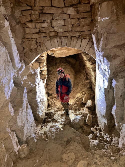
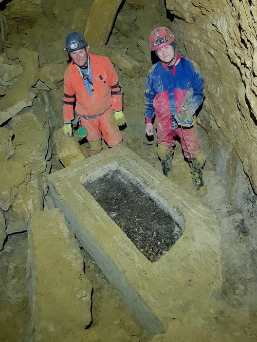
Windrush Quarry consists of several passageways that are usually about 2 by 1.5 metres in size. The stone was moved by carts underground presumably for both local use and for nearby towns and cities such as Oxford. The carts have left a series of well preserved ruts along the passages. Graffiti from the quarrymen dates from at least 1853 with the majority being between 1860 and 1909.
History
Windrush Stone Quarry has ancient roots, probably as far back as the 15th century when part of its output was used in St George's Chapel in Windsor Castle. There are at least three underground systems, formed to extract the Great Oolite limestone, which have been researched and protected by the Gloucester Speleological Society. The name of the quarry comes from the nearby village of Windrush, itself named after the local river, a tributary of the Thames and after which the famous HMT Empire Windrush was named.
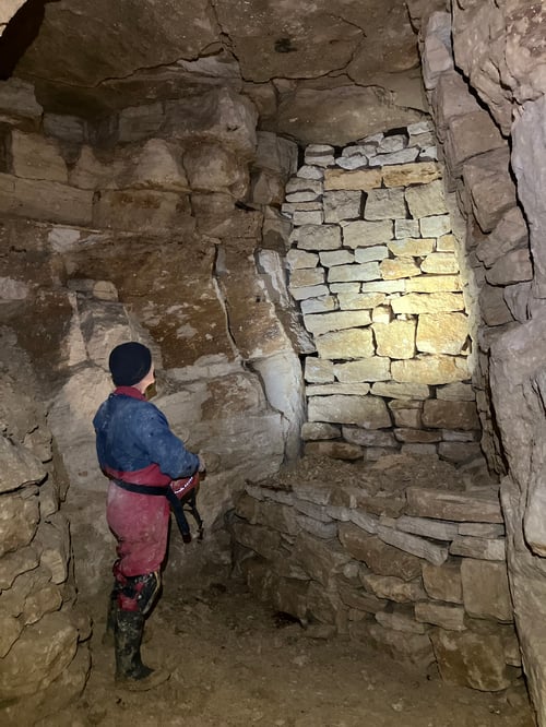
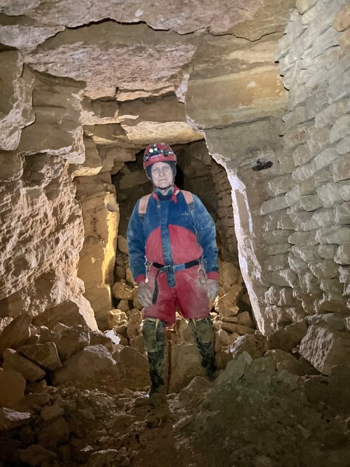
Like many similar quarries, it is likely that most work took place in the winter when above-ground agricultural employment was less demanding. Underground extraction ceased in around 1900 although it is believed that the local town band practised in the outer portions of the quarry after this date. There are some fine arched supports and the passages have much archaeological evidence of the working period including wheel ruts, grafitti and mining artefacts.
The Windrush quarries
There are two quarries in the "Quarry Plantation", to the west of Quarry Lane - the road running from Windrush Heights on the A40 Cheltenham to Oxford road to the village of Windrush.
- Windrush 2 (W2) — the nearest to the road, leased in 1722.
- Windrush 1 (W1) — known to be being worked in 1777.
- Windrush 3 (W3) — in the field to the east of Quarry Lane, leased from Windrush manor in 1826.
The W3 entrance lies at the end of an impressively deep cutting, and was the first to be entered by GSS in 1981. After the entrance was dug open the passages were explored and surveyed, giving a length of 1.59 km. A breeze-block wall with a lockable gate was installed by GSS in 1994. Other projects took over until interest was rekindled in 2009, when the entrance had to be dug open again. There was a lot of historical graffiti in this quarry and, due to the possibility that some of it might be lost because of roof fall, a photographic record of all the graffiti was made.
Various leads were investigated, and one of these was eventually dug through in 2011, to discover W2. Here, GSS found the often-reported 'stables', which were very close to the surface. GSS dug open a new entrance here, and another wall and gate installed. A further breakthrough was made in 2013 and a connection with W3 was created. Over following years, breakthroughs were made into smaller areas, W4 and W5. The total surveyed length of the complex currently (2026) stands at 3.544 km.
Access
The entrances to Windrush Stone Quarry are gated.
If you wish to visit Windrush Stone Quarry, please email meets.secretary@gloucester-speleo.org.
Route Descriptions (1)
Required Tackle
- Helmet with primary + backup light
- Warm base layers
- Gloves, knee pads
Geology
Underground quarry used to exploit the Jurrasic Oolitic Limestone, typical of the Cotswolds, for building materials.
External Resources
Interested? Join us!
New to caving or seasoned and muddy? Become a member and join trips, training, and socials.